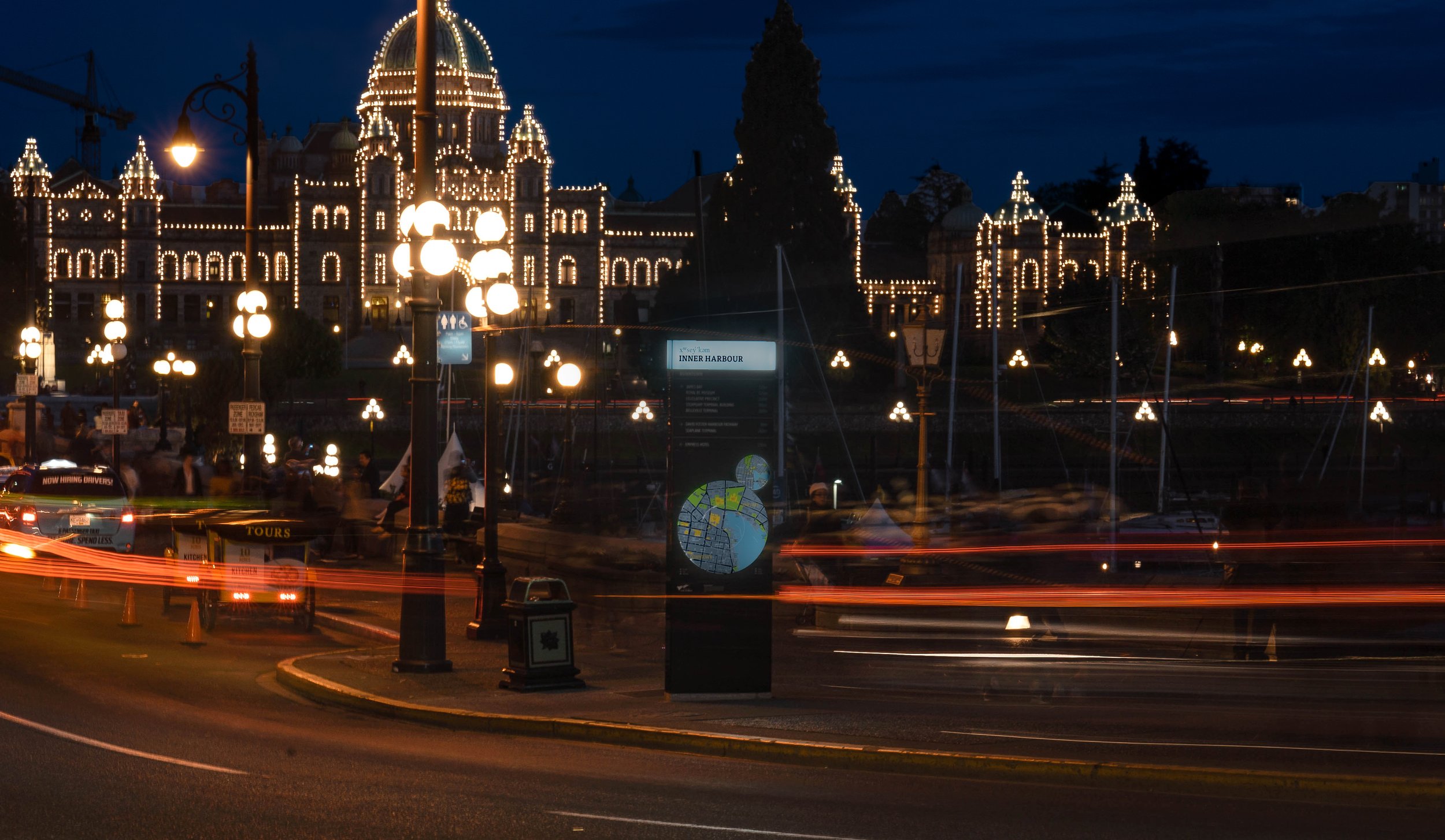
VICTORIA CITYWIDE WAYFINDING
We created City of Victoria’s citywide wayfinding strategy to help guide visitors and locals around the city on foot and bicycle. The process was part of a public realm design guideline development project and incorporated a robust public and stakeholder engagement process. The work is a first of its kind as it incorporates placenaming granted by the Lekwungen First Nation.
The system is built upon best practices in wayfinding including progressive disclosure—only telling what can be remembered in next few steps—legibility, consistency, and naturally, a sense of beauty in the public realm.
Highly consultative, the work includes coordination of information from a variety of civic departments, BC Transit, MOTI, Greater Victoria Harbour Authority and many neighbourhood groups.
Client: City of Victoria
Location: Victoria, BC
Landscape Architecture: PWL Partnership
Scope: Community engagement, wayfinding strategy, signage design, phased guidelines for implementation
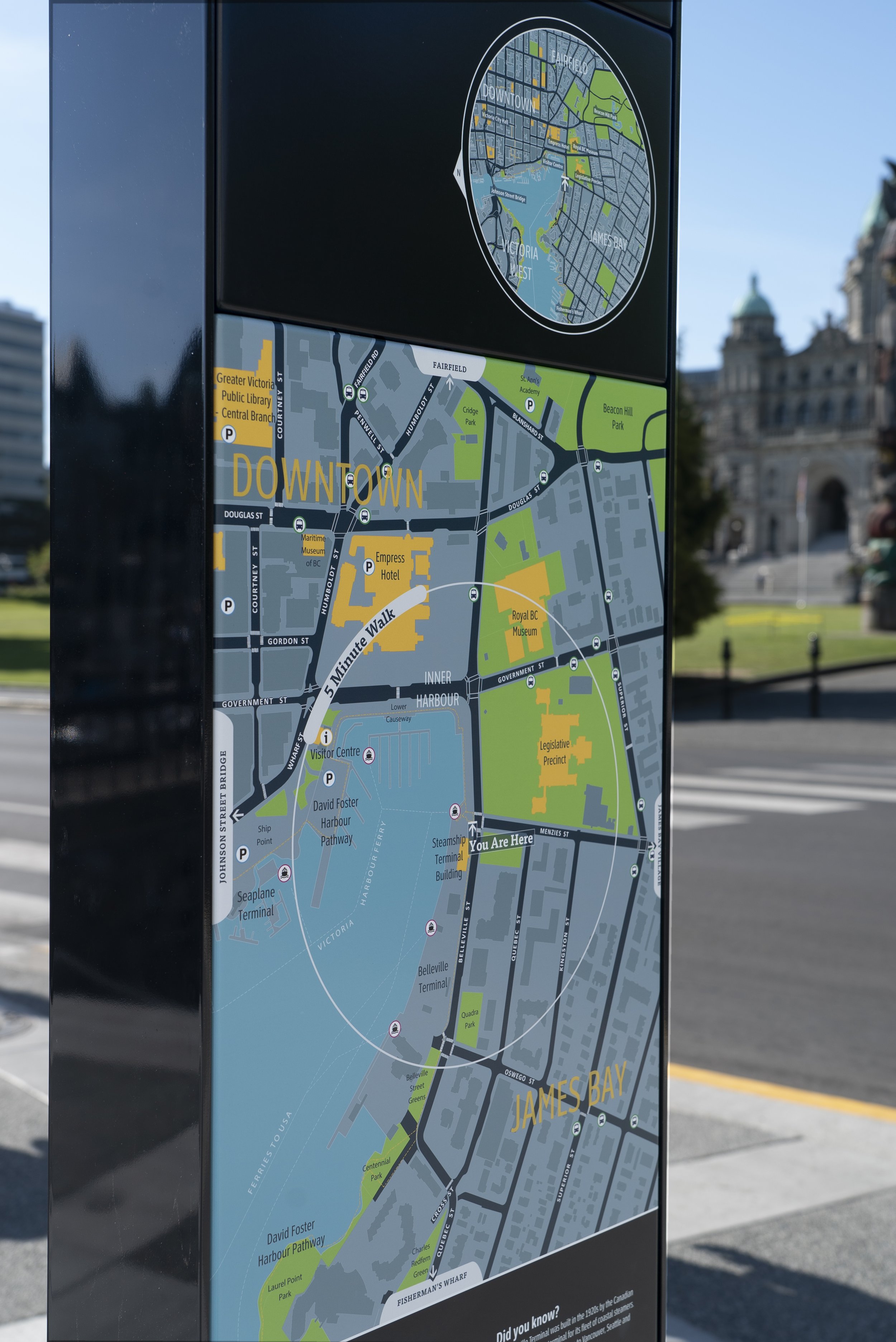

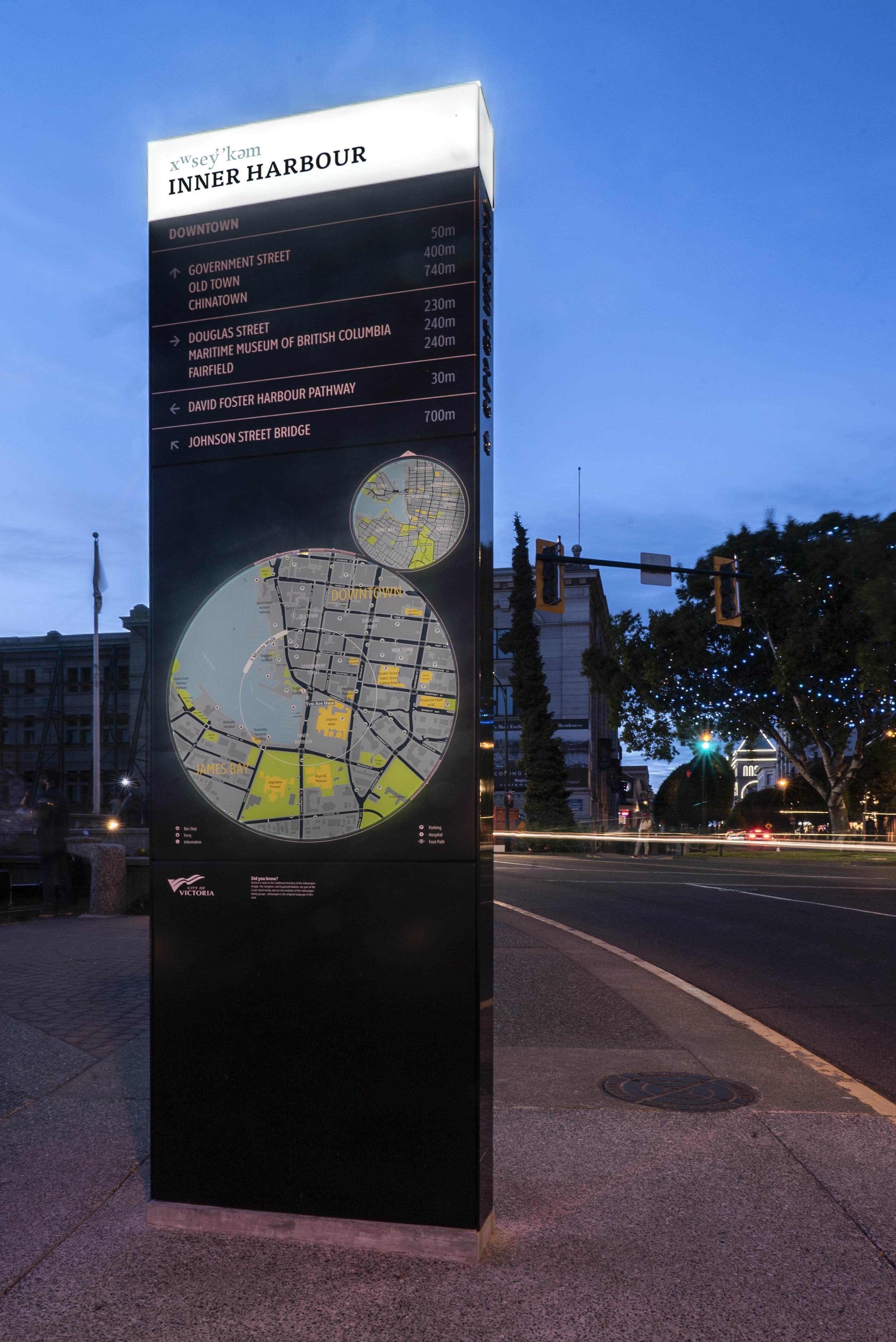
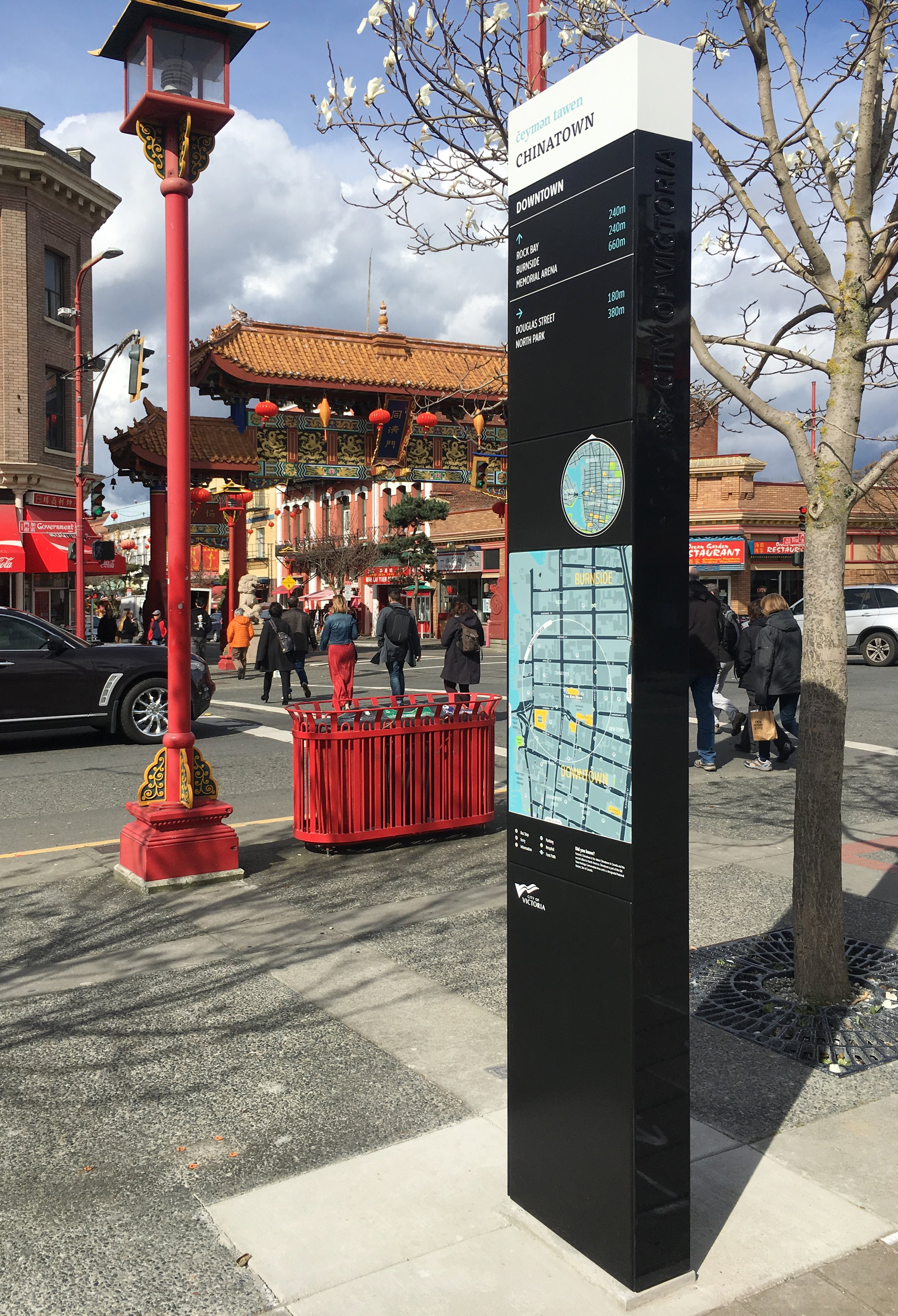
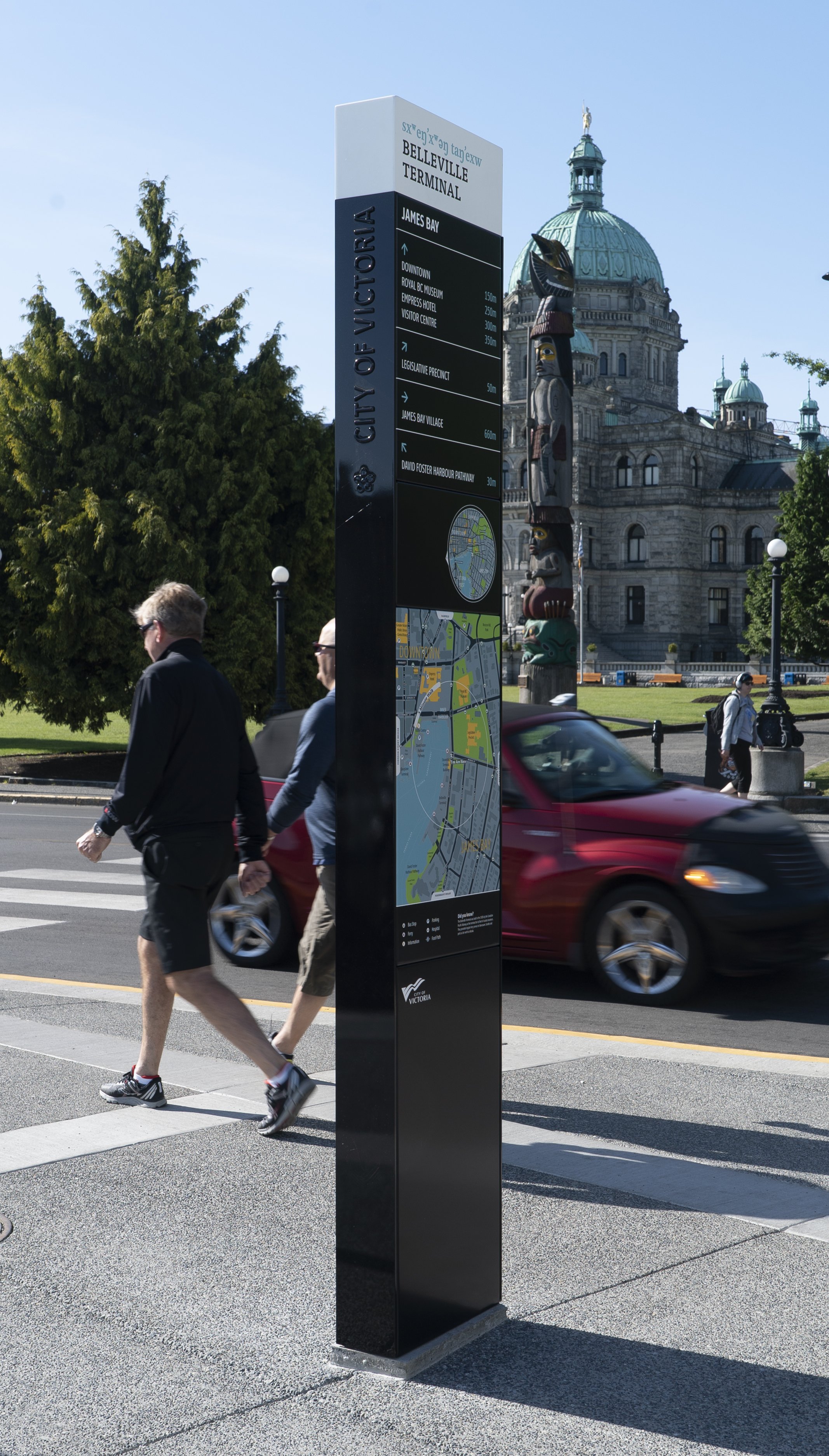

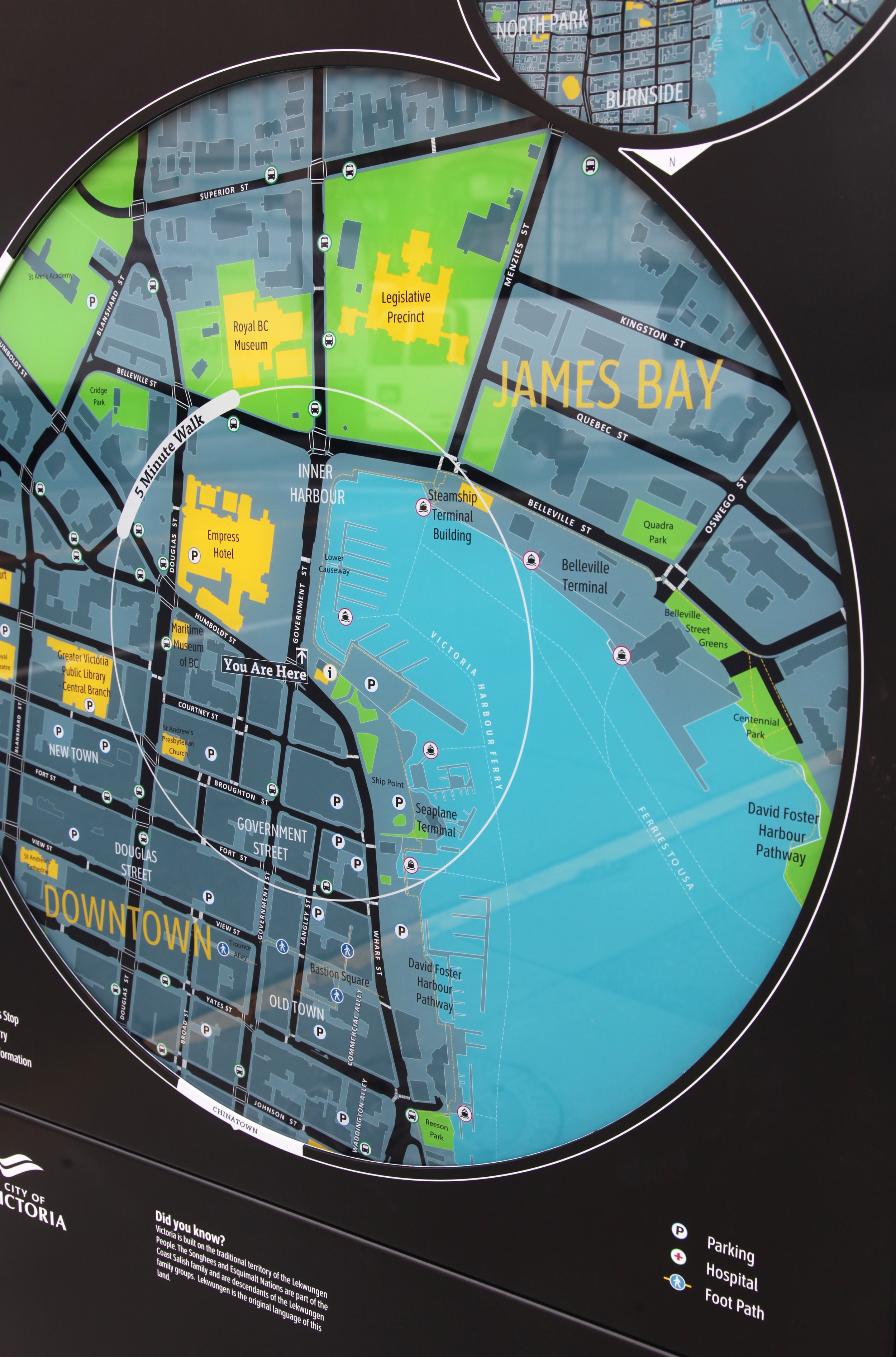
Features include custom graphic maps which are located “heads up” for easy reference to the physical surroundings. This is helpful for most people who find the mental geometry of flipping maps to match the landscape challenging.
Raised lettering and the emblem of a dogwood blossom grace the sides of the map pylons as a nod to British Columbia iconography and the maritime heritage character of the city.

Similar Projects
-
![Hastings Park]()
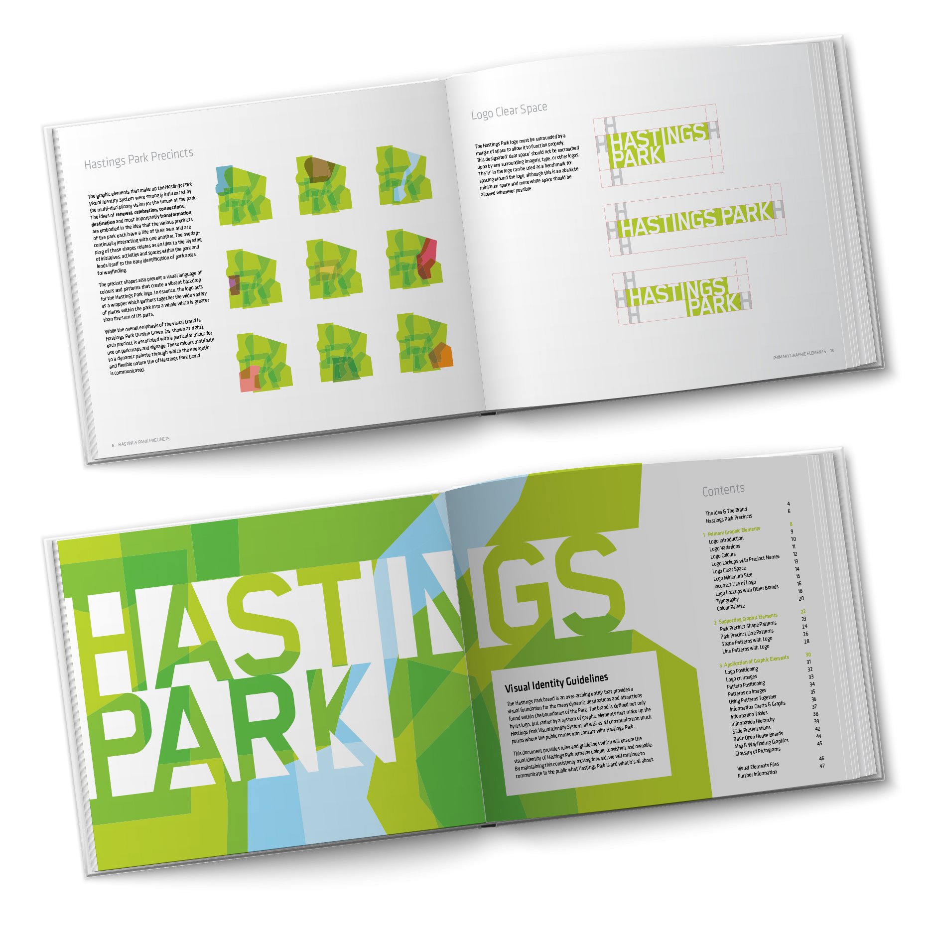
Hastings Park Identity Design and Wayfinding
-
![UBC Gateway]()
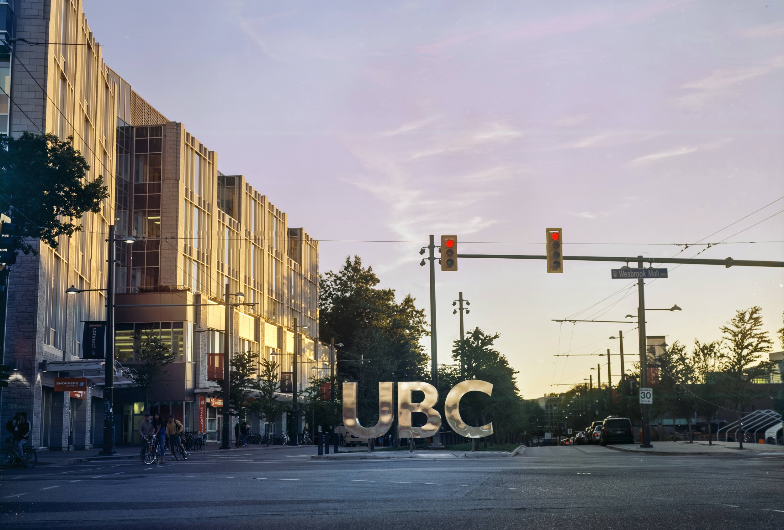
UBC Gateway Signage
-
![Experience the Fraser Wayfinding]()
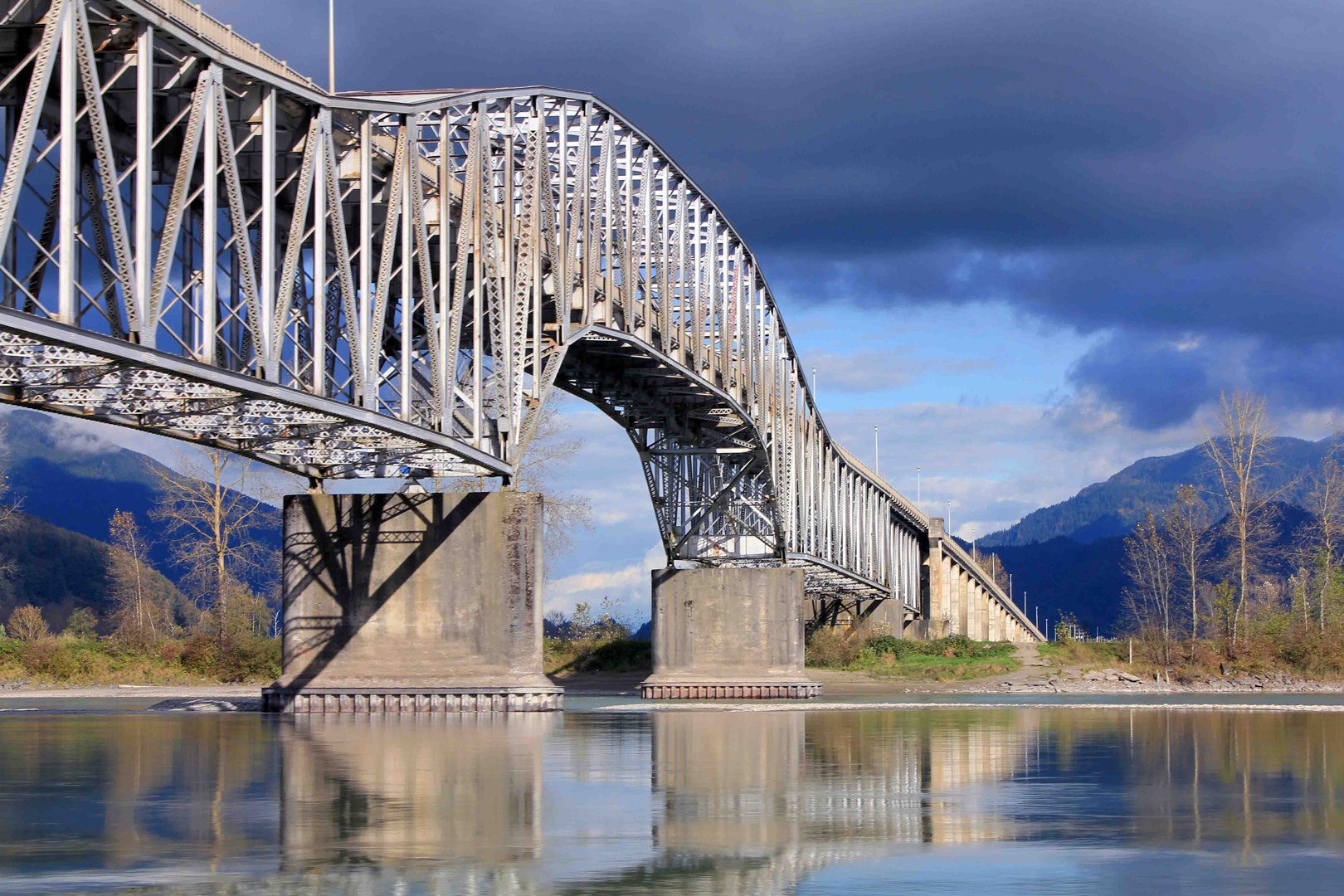
Fraser River Wayfinding
-
![Tofino Wayfinding]()
Tofino Wayfinding
-
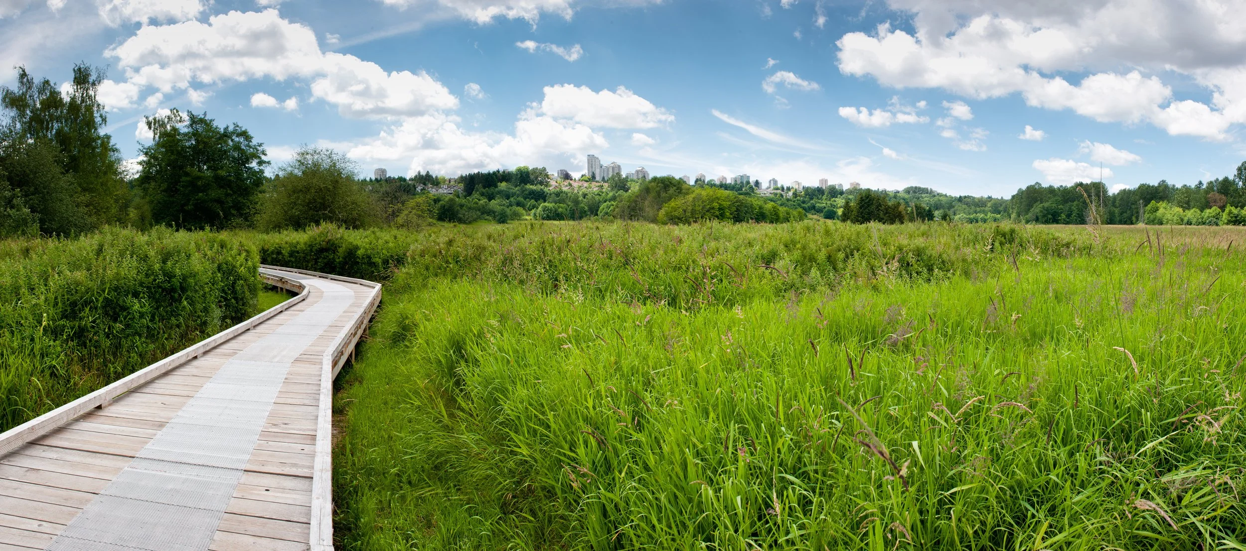
![Deer Lake Park]()
Deer Lake Park Wayfinding
-
![People, Parks and Dogs Signage Strategy]()
People, Parks and Dogs Signage Strategy
-
![New West Parkade Wayfinding]()
New West Parkade Wayfinding
-
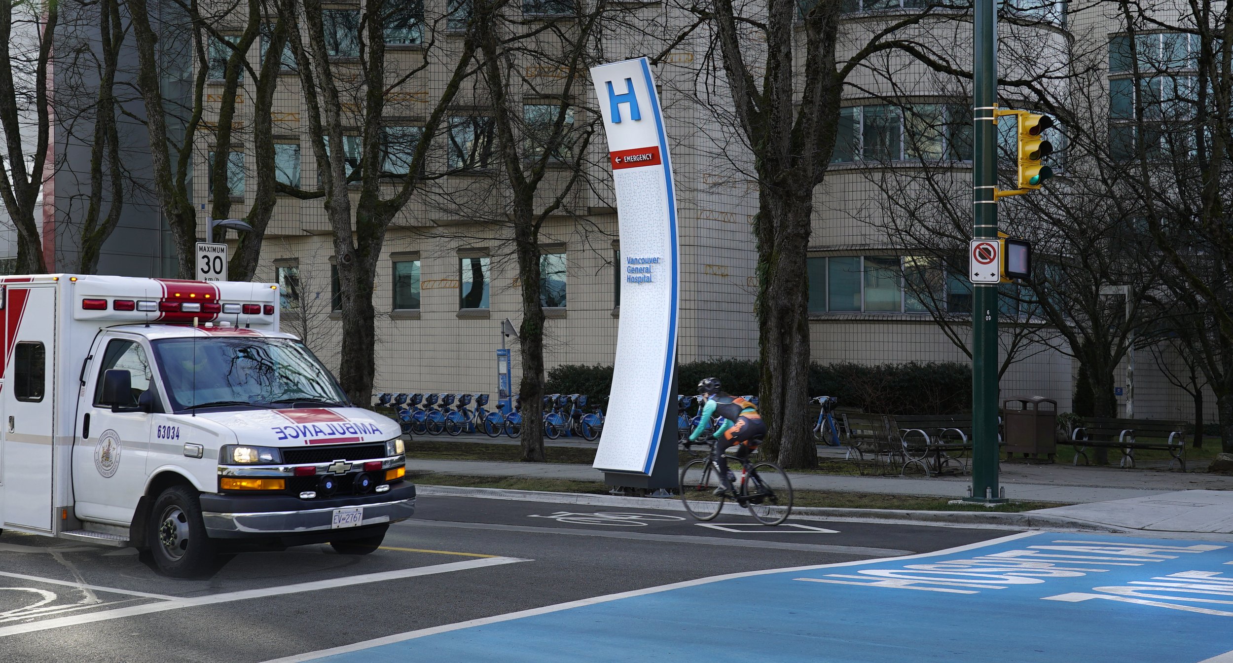
![Vancouver Hospital Zone Wayfinding]()
10th Avenue Hospital Wayfinding
-
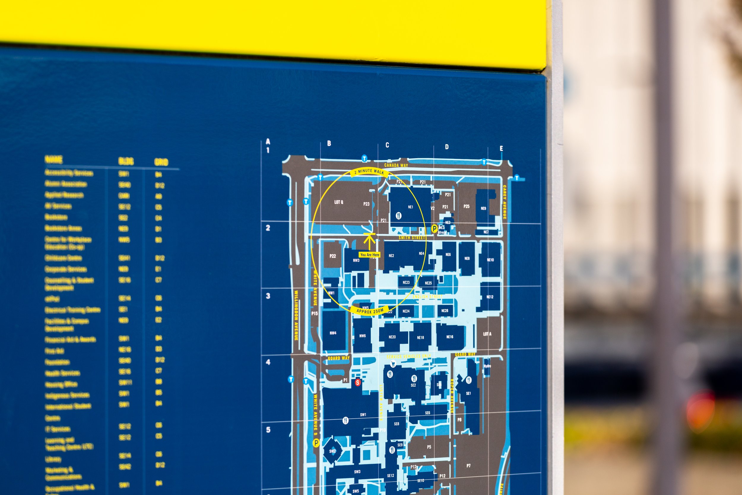
![BCIT Pedestrian Wayfinding]()
BCIT Pedestrian Wayfinding
-
![Mendenhall Glacier Wayfinding]()
Mendenhall Glacier Wayfinding and Interpretation
-
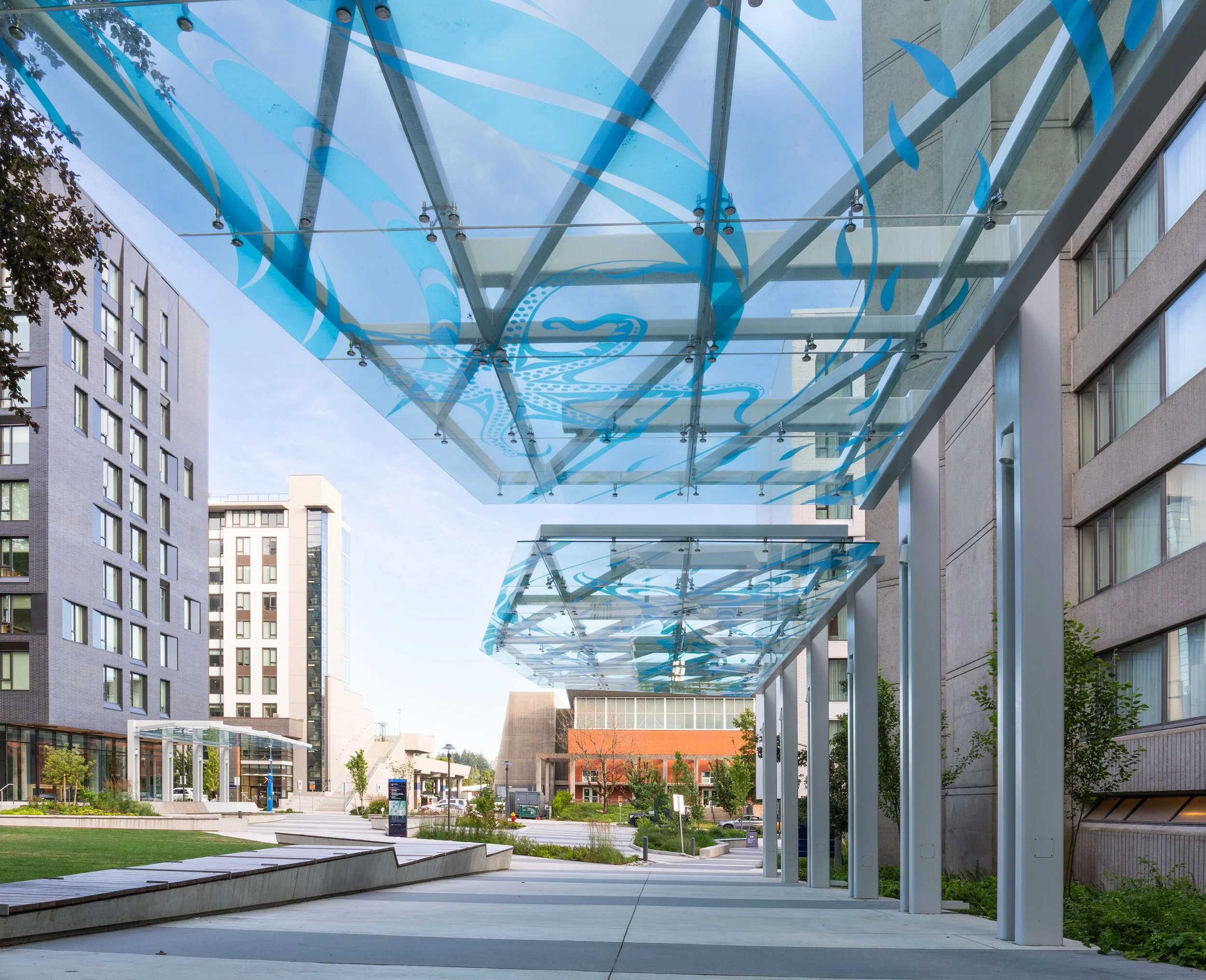
![Gage Residence Wayfinding]()
UBC Residence Wayfinding