

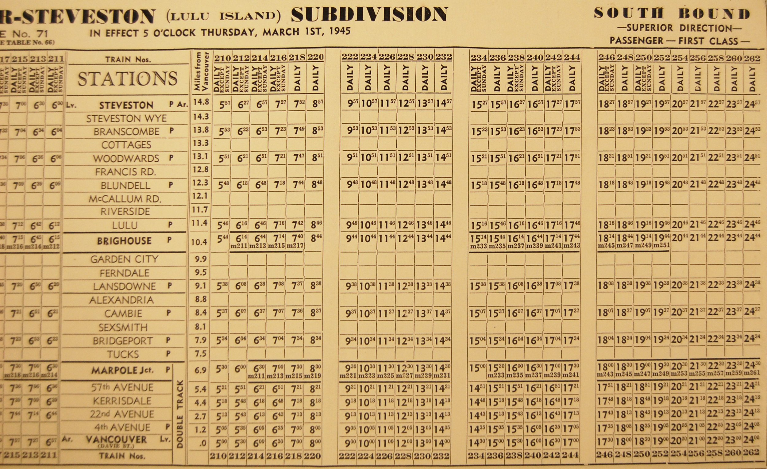
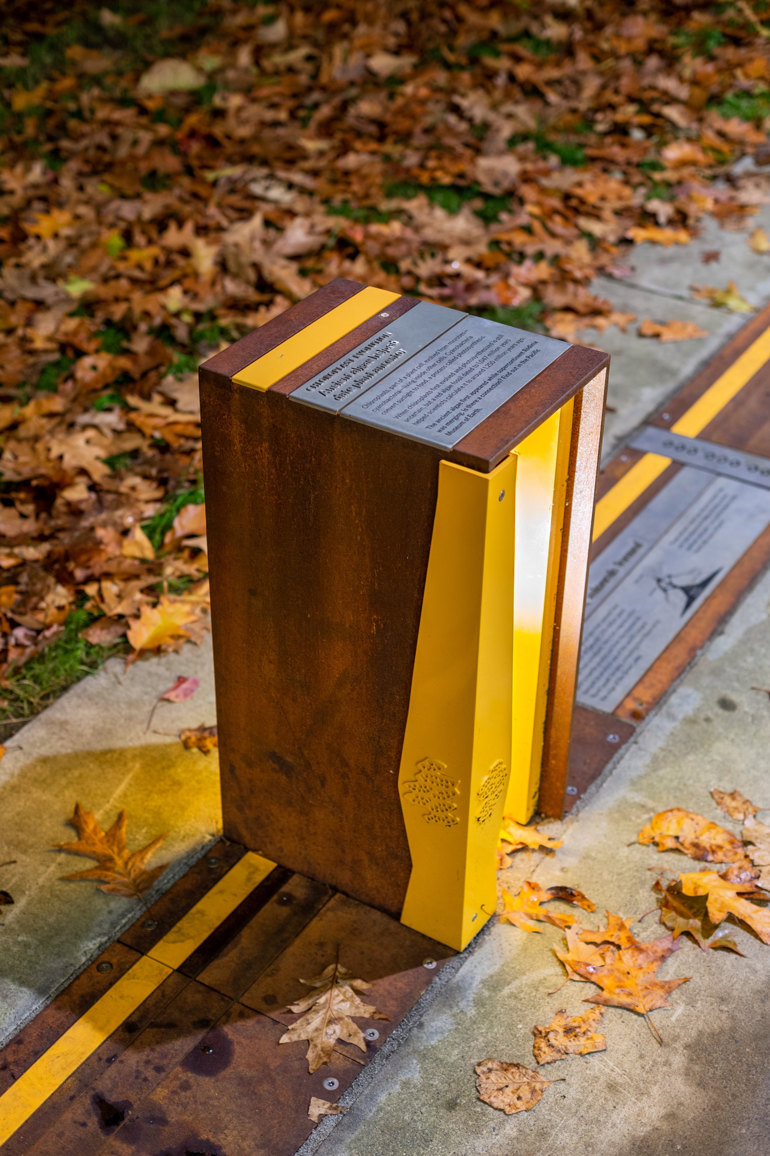
RAILWAY CORRIDOR GREENWAY
The City of Richmond re-purposed a 3.7 km long stretch of the old Interurban Tram line that ran between 1912 to 1958 from Vancouver to Richmond into a multi-use trail. Our task was to reveal and celebrate the history of the Interurban line in an integrated open space master plan connected to the larger urban trail system.
Client: City of Richmond
Location: Richmond, BC
Landscape Architect: Hapa Collaborative
Scope: Wayfinding strategy, interpretive and wayfinding signage design

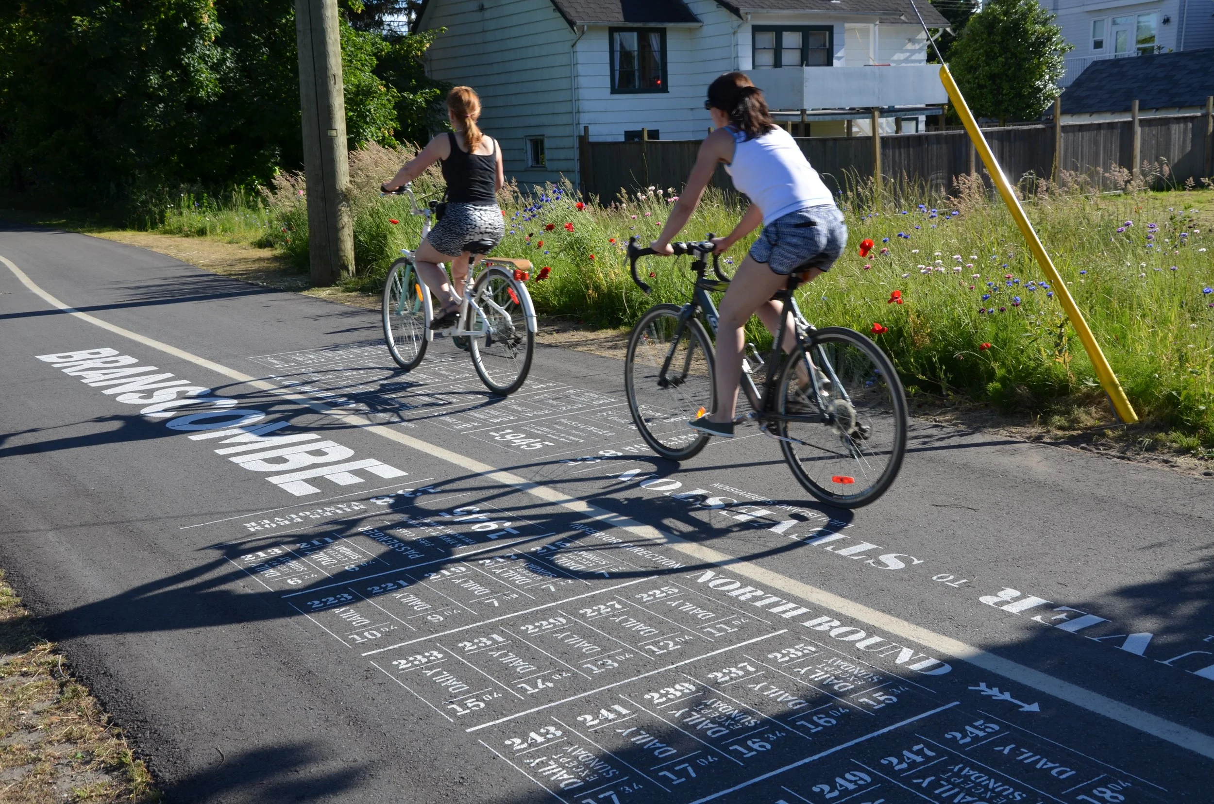

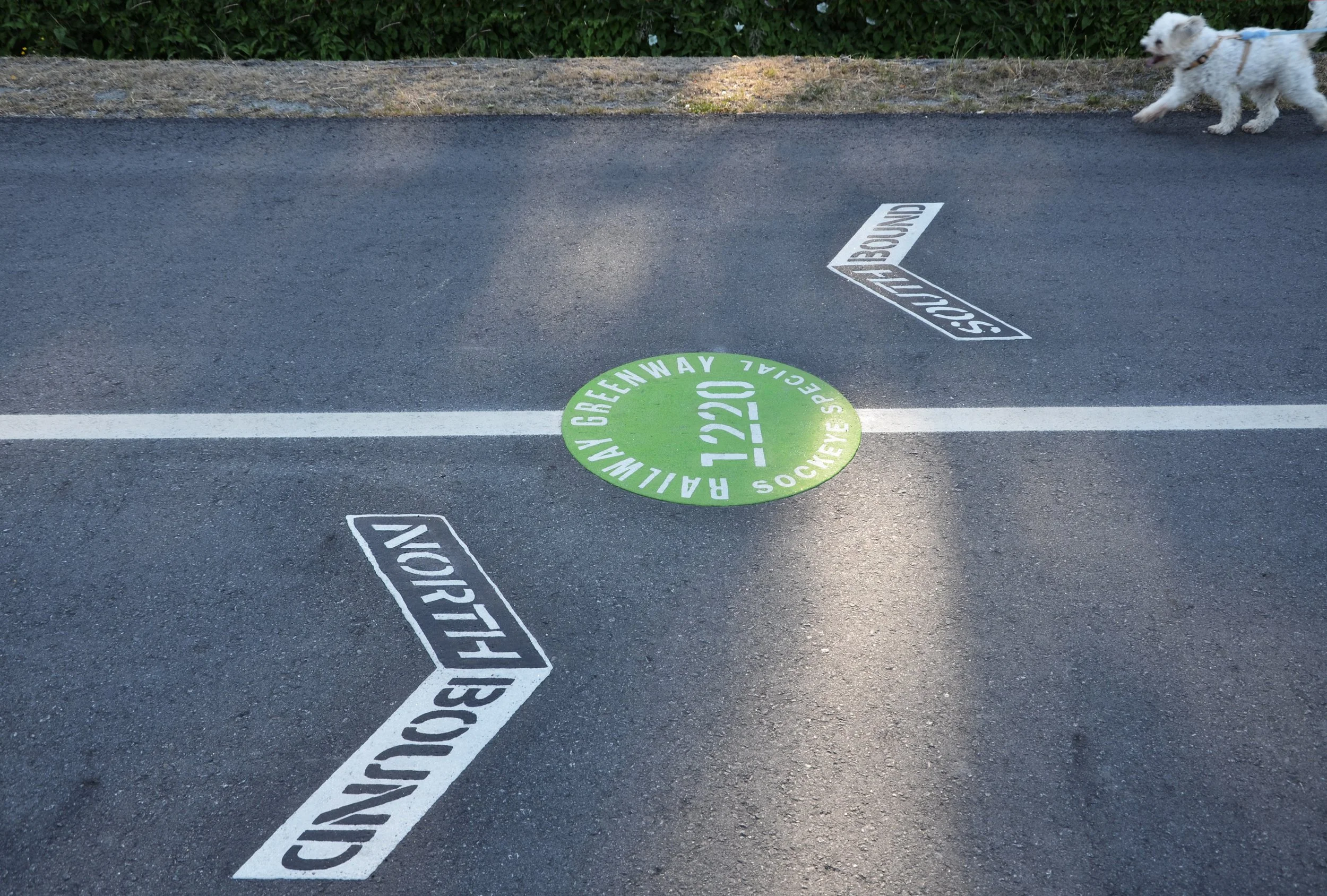

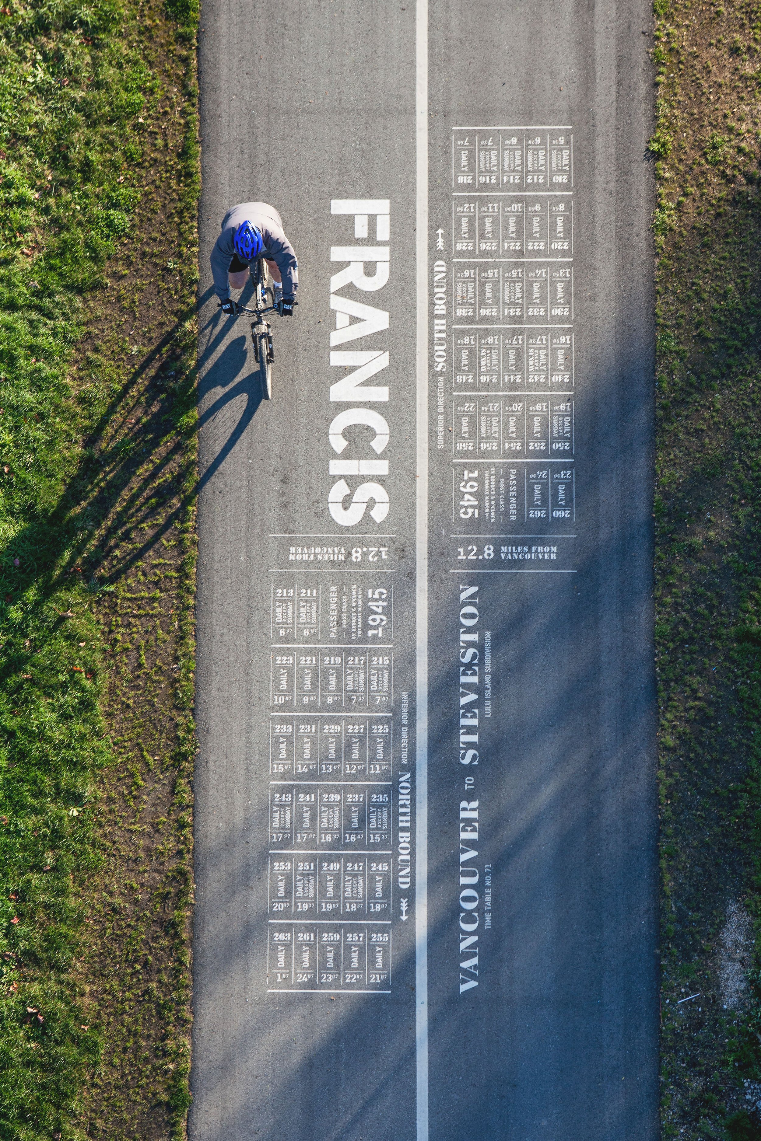
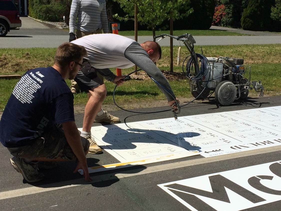
The wayfinding signage features evocative asphalt paving graphics which re-interpret the historic tram schedule. Marking the old station points, these large format art elements blend ideas of journeys past with contemporary time and place.

Similar Projects
-
![Waterfront Park Wayfinding]()
Waterfront Park Interpretive & Wayfinding
-
![Walk Through Time Outdoor Exhibition]()
Walk Through Time Outdoor Exhibition


Item 1 of 6